Challenges 2023 - KUL03 Spatial and Temporal Visualization for Enhancing Climate Change Monitoring and Flood Management
By UNIMAS Gamification Centre, Leonard Lik Pueh LIM
CHALLENGES 2023
Challenges Description:
This challenge is focused on building an interactive database as foundation for developing rainfall design characteristics for a water catchment as well as to study the rainfall runoff relationship using machine learning. Prevalence of flood has often been anecdotally associated to climate change due to the fragmentary hydrological data set and limited hydrological data analysis to validate the claim.
To date, the rainfall runoff relationship in a water catchment is still not well understood for managing flood effectively due to the lack of coordination in establishing both rainfall and water level monitoring stations. The existing information system showing these data can be further enhanced in terms of legibility to better inform lay people especially those in the decision-making group.
With the application of IOT systems to provide real-time monitoring, it is a matter of analyzing the data and providing spatial and temporal visualization to facilitate informed decision making and planning for developing urban drainage system to mitigate flood effectively.
This challenge involves some basic temporal data analysis using existing data sets, and develop real time spatial visualization and indication of rainfall or high/low water level. Besides temporal data analysis, there is a need to analyze the characteristics of individual rainfall events such as intensity, duration and frequency which is essential for studying the rainfall pattern and its influence on the runoff at the water level monitoring stations.
What the challenge owner would like to develop over 48h
Create an interactive database/information system, mobile app
Which skills the challenge owner is looking for
Data analyst, IT developer, GIS, dashboard, scientist (hydrology, oceanology), communication specialist, graphic designer
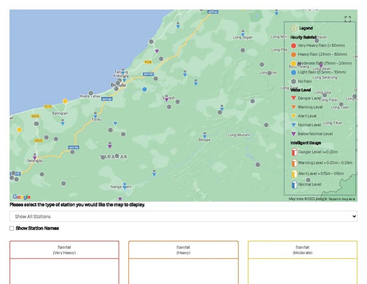
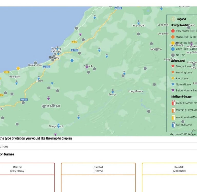
Image taken from website available for public viewing on the rainfall and water level
Connect
Join us in ocean sustainability and innovation.
© 2026. All rights reserved.