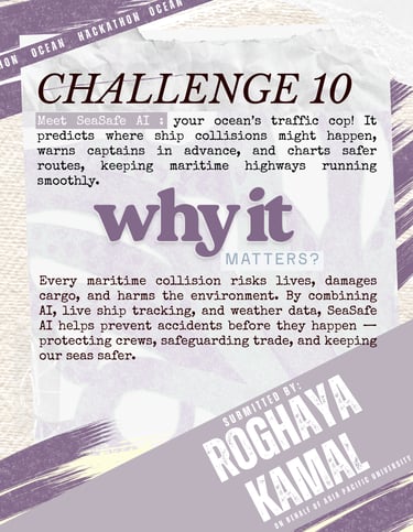
Challenge KUL 10 : SeaSafe AI : AN AI-POWERED MARITIME SAFETY SYSTEM THAT FORECAST COLLISION RISK ZONES AND SUGGEST SAFE REROUTES
CHALLENGES 2025
8/23/20251 min read


The system would function as a predictive safety tool, capable of identifying high-risk zones before incidents occur. It would provide navigational advice and early alerts for vessels, allowing for safe rerouting and improved tra\ic coordination, particularly in high-risk maritime corridors.
The goal is to forecast collision zones similarly to how storm radars predict weather systems and to advise vessels before they enter high-risk regions. The system can be developed into a web-based application or dashboard accessible to maritime stakeholders. A mobile-friendly interface may also be provided for onboard crews.
The SeaSafe AI system could use a combination of:
• AIS (Automatic Identification System) data to track vessel locations, speed, and direction
• Weather and sea state predictions from open APIs like NOAA or Copernicus
• Collision risk modelling, using machine learning trained on historical accident data
• Dashboard interfaces for real-time alerts accessible by ships, ports, navies, and insurers
We would like to develop a working prototype of the SeaSafe AI system. This will include a web-based dashboard that simulates real-time vessel tracking using AIS data and visualises predicted collision risk zones. The prototype will integrate mock AIS, weather, and sea state data into a machine learning model that scores risk levels along common shipping routes. The dashboard will feature interactive map visualisation, risk alerts, and suggested rerouting paths for vessels. If time permits, a mobile-responsive version or a basic app interface will also be created for onboard use.
• Geospatial Analysis and GIS Tools: For mapping vessel density, sea conditions, and high-risk zones on an interactive dashboard.
• Maritime Navigation and Oceanography: To understand AIS data, shipping lane behaviour, and environmental factors affecting vessel movement.
• Web Development (Frontend and Backend): For building a user-friendly dashboard with real-time data visualisation and alerts.
• API Integration: To connect with sources such as AIS feeds, NOAA, and Copernicus for weather and sea state data.
• UX/UI Design: To design an intuitive interface for maritime stakeholders, including ship operators, ports, and insurers.
Essential team skills:
Development Goals for the 48-Hour Hackathon:
About the Challenge :
Connect
Join us in ocean sustainability and innovation.
© 2025. All rights reserved.
